
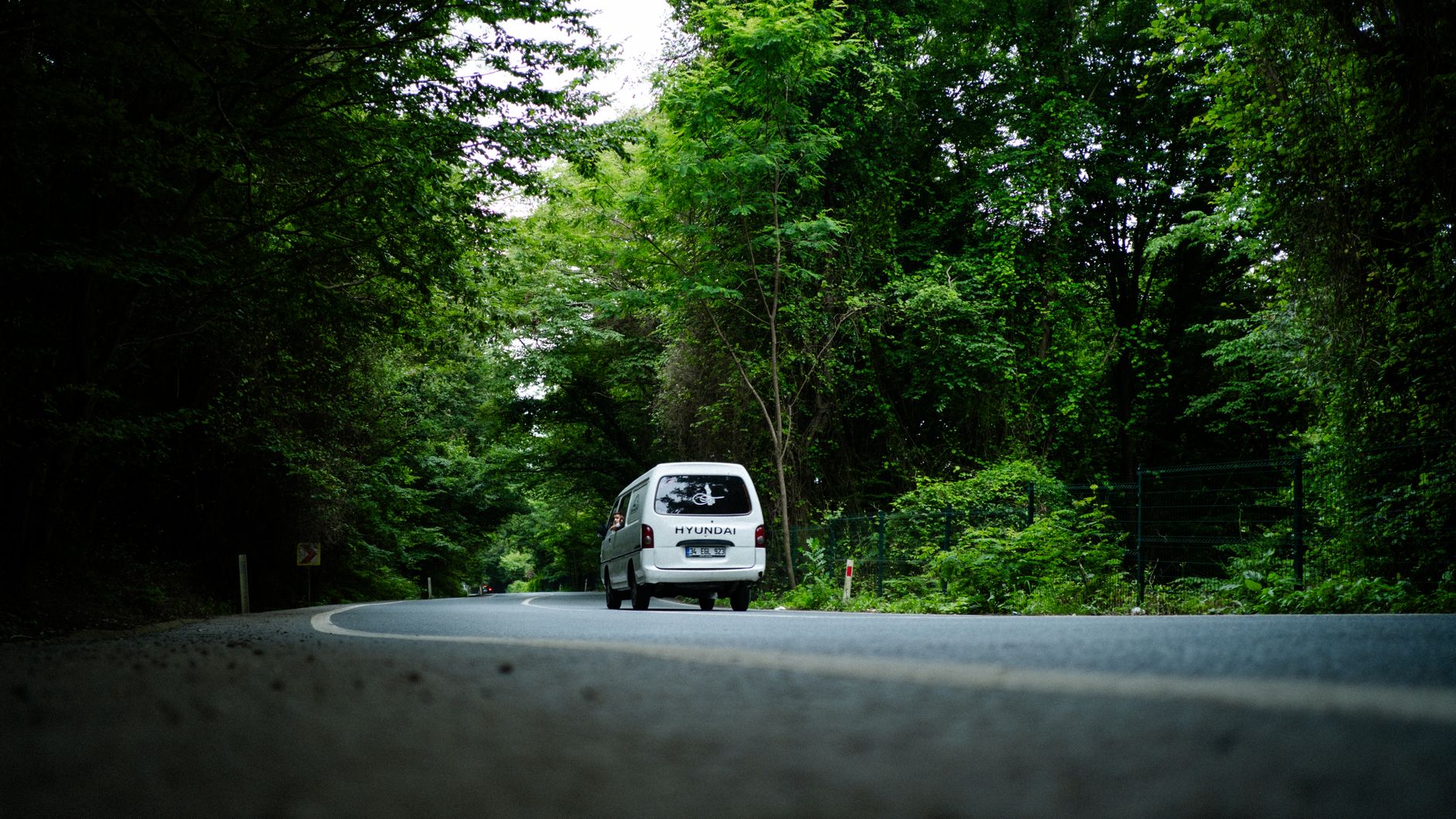
Arriving in Zekeriyaköy feels like stepping out of Istanbul's density and into the forest. So how do you actually get to this quiet district?
I have worked as a real-estate advisor in Zekeriyaköy and Sarıyer for more than ten years, and I have answered this question hundreds of times. Working within the Keller Williams Türkiye team, I always walk clients through the most practical routes. Zekeriyaköy sits in northern Sarıyer, bordering the Belgrad Forest and the Black Sea. Its proximity to the TEM motorway and its public transport links to the city centre make it ideal both to live in and to invest in. This guide covers metro, bus, minibus, car and sea routes step by step.
Public Transport: Metro and Bus Routes
The easiest way to reach Zekeriyaköy by public transport is the M2 metro line. Take the Yenikapı to Hacıosman metro and get off at the final stop, Hacıosman. As you leave the station you will see the İETT bus stops. From there, bus 152 (İETT route name: Hacıosman Metro to Zekeriyaköy / Kısırkaya) takes you into Zekeriyaköy; İETT lists the full one-way run at 58 minutes, and the Zekeriyaköy stops come partway along. Source: iett.istanbul route page, accessed 11 September 2026. Get off at whichever stop is closest to your destination.
Other bus routes widen the options:
- 151: Hacıosman Metro to Kilyos / Demirciköy; 48 minutes one way (İETT). For Demirciköy and Kilyos.
- 59HS: Hacıosman Metro to Sarıtepe Campus (Koç University); 48 minutes one way (İETT). For the Rumelifeneri direction.
- 59RK and H-8: routes passing through Soğuksu and its surroundings.
These lines run through the wooded roads of Sarıyer, so you get the green of the Belgrad Forest along the way. Services are frequent during the morning and evening peaks, and apps such as Moovit give live tracking. Allow 4 to 10 minutes of walking from stops such as Zekeriyaköy Evleri.
Zekeriyaköy's closeness to the Black Sea finishes the journey with cool air. Transferring to a minibus from central Sarıyer is also practical.
Which Side of Istanbul Is Zekeriyaköy On?
Zekeriyaköy is a neighbourhood on Istanbul's European side, within the Sarıyer district. It lies in the north of the city, between the Belgrad Forest and the Black Sea coast. The nearest metro station is Hacıosman, at the northern end of the M2 line, and from there bus 152 reaches Zekeriyaköy; the time depends on traffic, and İETT's published one-way time for the whole route is 58 minutes.
It borders the Maslak and Levent business districts, the coastal villages of Kilyos and Demirciköy, and Bahçeköy and the Belgrad Forest. The Northern Marmara Motorway and the third Bosphorus bridge give direct access to the Asian side as well.
Getting There from 4. Levent and Mecidiyeköy
Both are on the M2 metro line, so the logic is the same: take the metro north to the final stop at Hacıosman, then transfer to bus 152.
- From Mecidiyeköy: M2 from Şişli-Mecidiyeköy to Hacıosman, then the 152. The metro leg is 8 stops.
- From 4. Levent: 6 stops on the same line to Hacıosman, then the 152.
By car from the direction of Levent and Maslak, Zekeriyaköy is 25 to 30 minutes away, though the Büyükdere Caddesi exit lengthens that at peak times.
Minibus and Dolmuş: Fast and Flexible
Minibuses are my own favourite way to move around Zekeriyaköy. The SRY6 and 25Y routes run from Sarıyer Kaymakamlık out to Demirciköy and Kısırkaya. From the Zekeriyaköy Yolu stop it is an 11 to 12 minute walk to the centre.
Popular minibus routes:
- Sarıyer Kaymakamlık to Demirciköy: through forest roads, with the scenery as a bonus.
- Sarıyer Kaymakamlık to Kısırkaya: close to the Black Sea shore, connecting to Kilyos.
- SRY11 and SRY8: with transfers at Bahçeköy and Soğuksu.
These vehicles move quickly and avoid most of the traffic. Bosphorus ferries leave from the Sarıyer pier; check the current timetable on the Şehir Hatları site, as I do not publish sailing times or routes here. Fares are reasonable and services frequent.
Minibuses fill up at peak hours, so boarding early helps. Once you reach Zekeriyaköy's quiet streets, the appeal of the place explains itself.
By Car: The TEM and Motorway Advantage
For drivers, the Zekeriyaköy exit from the TEM is the obvious route. Take the Seyrantepe or Hacıosman exit from the TEM motorway and you are on the Zekeriyaköy road within 5 to 10 minutes. The Northern Marmara Motorway connects Zekeriyaköy to the third Bosphorus bridge and to Istanbul Airport; the airport is about 30 kilometres away and the drive takes around 35 minutes, so we do not describe it as "minutes away".
Main arteries:
- Hacıosman Caddesi: connected to the metro, with traffic that usually flows.
- Bahçeköy Yolu: the forest entrance, and the scenic route.
- Zekeriyaköy Yolu: direct from Sarıyer, 15 to 20 minutes.
For navigation I recommend Yandex or Google Maps, both of which show live traffic. Parking is not a problem; there is plenty of it. Zekeriyaköy's belt of forest and Black Sea coast makes it ideal for weekend trips, and these roads are part of the appeal on the way to the luxury villas of Sarıyer.
Sea Routes and Practical Tips
If you prefer the ferry, head for the Sarıyer pier and check the Şehir Hatları timetable first. It is 10 minutes from Zekeriyaköy, and from there you can take services to Beykoz, İstinye and Beşiktaş. Bosphorus ferries also call at Sarıyer.
General tips:
- Apps: check service times on Moovit or the İBB app.
- Traffic: weekdays between 07:00 and 09:00 and between 17:00 and 19:00 are heavy, so public transport is the better choice.
- Weather: the forest area is cool, so bring a jacket.
Zekeriyaköy combines a natural setting with genuinely workable transport links. Both are worth weighing in a property search.
If you would like advice on property in Zekeriyaköy and the surrounding area, please get in touch.
Sources
I measured the figures in this article from the sources below. The links open each source’s current page; listing counts and prices change over time, so the figures here belong to the measurement date stated in the text.